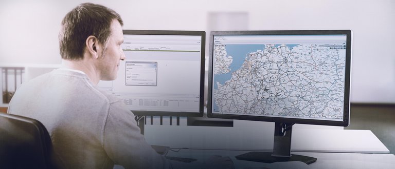
On tour, surprises are bound to occur just as much as short-term orders. No matter whether a traffic jam or an urgent customer request is concerned: You must be able to react in a flexible manner. The best way to do that is to know the positions of your vehicles, routes, current traffic information, or the status of your tours. Stay always informed where and in which situation your vehicles and trailers are and be able to trace the tours completed – with the Mapping and Trip Records services.


Mapping specifies vehicle positions and tracking information. In addition, this service provides details on the odometer reading, ignition, engine, speed, and – in combination with Fleetboard Time Recording – on the remaining driving time.
The display of the range enables you to find vehicles ready to be deployed more quickly for the purpose of a precise tour planning.
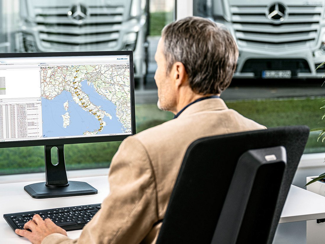
The display of the traffic flow including the traffic messages allows you to check whether the route is free or whether tours will be delayed.
Geofences and Points of Interest (POI) help you to create special areas and clearly mark precise points.
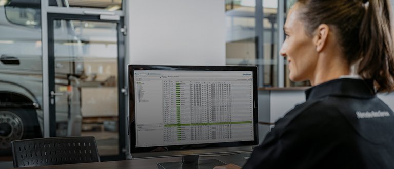
Trip Records provide detailed information on drive and stop times, fuel level, and position data.
Use of the Fleetboard Mapping and Time Recording service requires the on-board computer Truck Data Center.